GEOMATE CoProcess
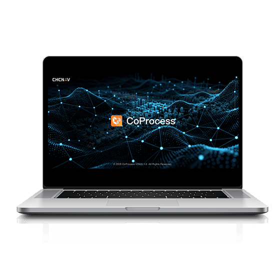
CAD and analysis platform for point clouds. Volume calculations, vector extraction, and generation of advanced maps and models.
Overview
Built for real field work
CAD and analysis platform for point clouds. Volume calculations, vector extraction, and generation of advanced maps and models.
Technical Specs
All details in one place
Benefits
Why it fits your project
Professional Use
Designed for engineering, surveying, planning, documentation and 3D presentation.
Fast Workflow
From field capture to processing, analysis and production-ready outputs.
Accuracy & Reliability
Built for environments that require accuracy, stability and professional control.
Related Products
You may also need
Want to fit this product to your project?
Send your details and we will help match the right solution to your field requirements.
Talk to Us